RAVEN GEOINT watches the ground a threat comes from — launch areas, staging grounds, naval bases and borders — from orbit, and is designed to bring what it finds on areas under standing watch to the operator in under thirty minutes.
A ground station, a constellation and an AI suite. Delivered as one system.
Collection spans optical and radar imagery and radio-frequency sources, from a commercial constellation of more than one hundred satellites in low Earth orbit.
Optical and radar imagery comes down on a ground station in the country, is processed by AI analytics, and reaches the operator as detections — not as a folder of images.
Vessel and vehicle detection, change detection, and target identification and tracking — applied where a defence force needs them.

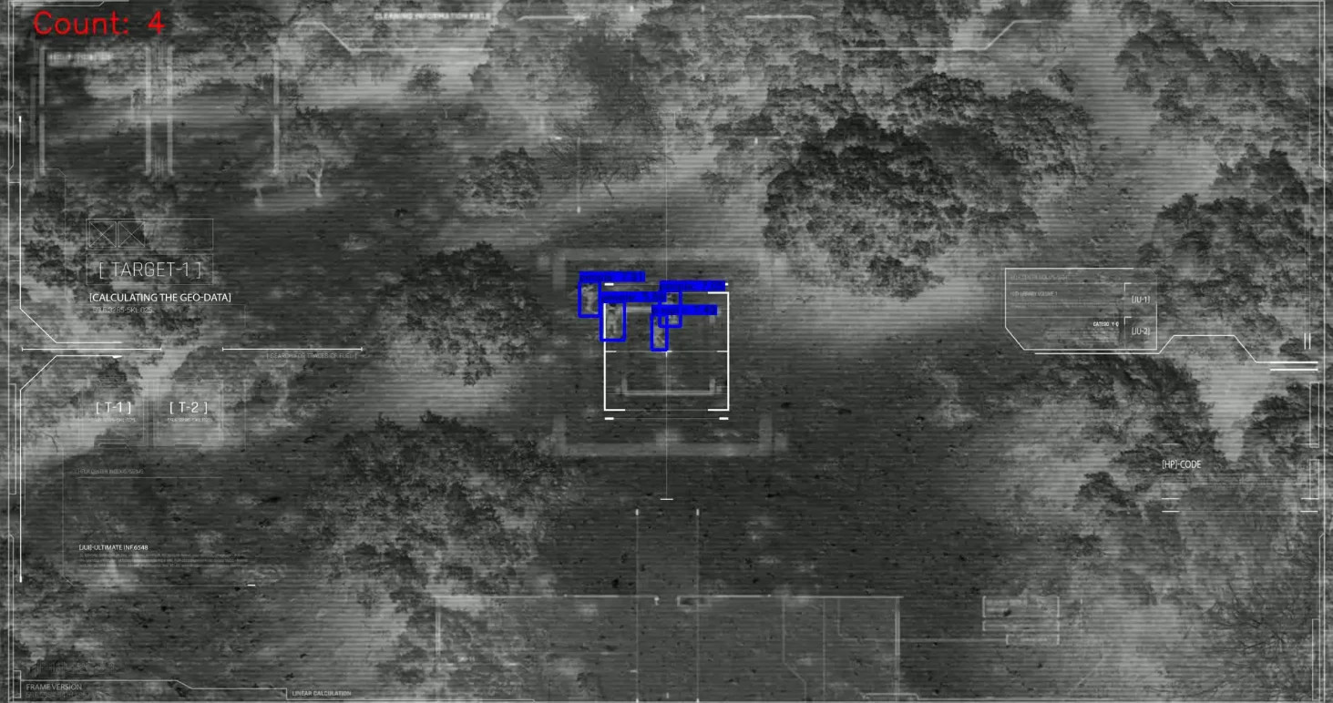
Troop and vehicle movement across an area under standing watch, compared pass against pass, so change is picked up on each pass rather than reported hours later.

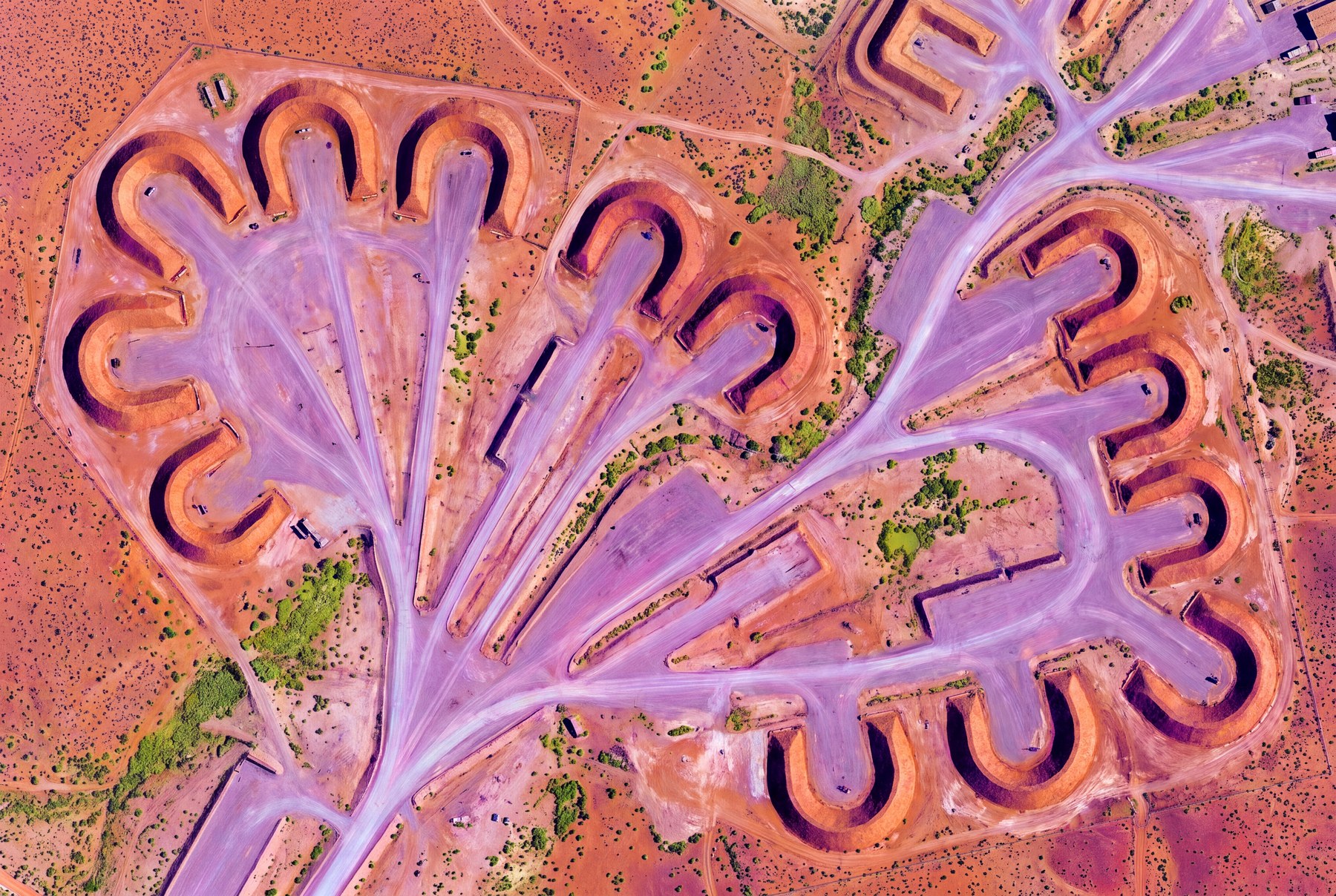
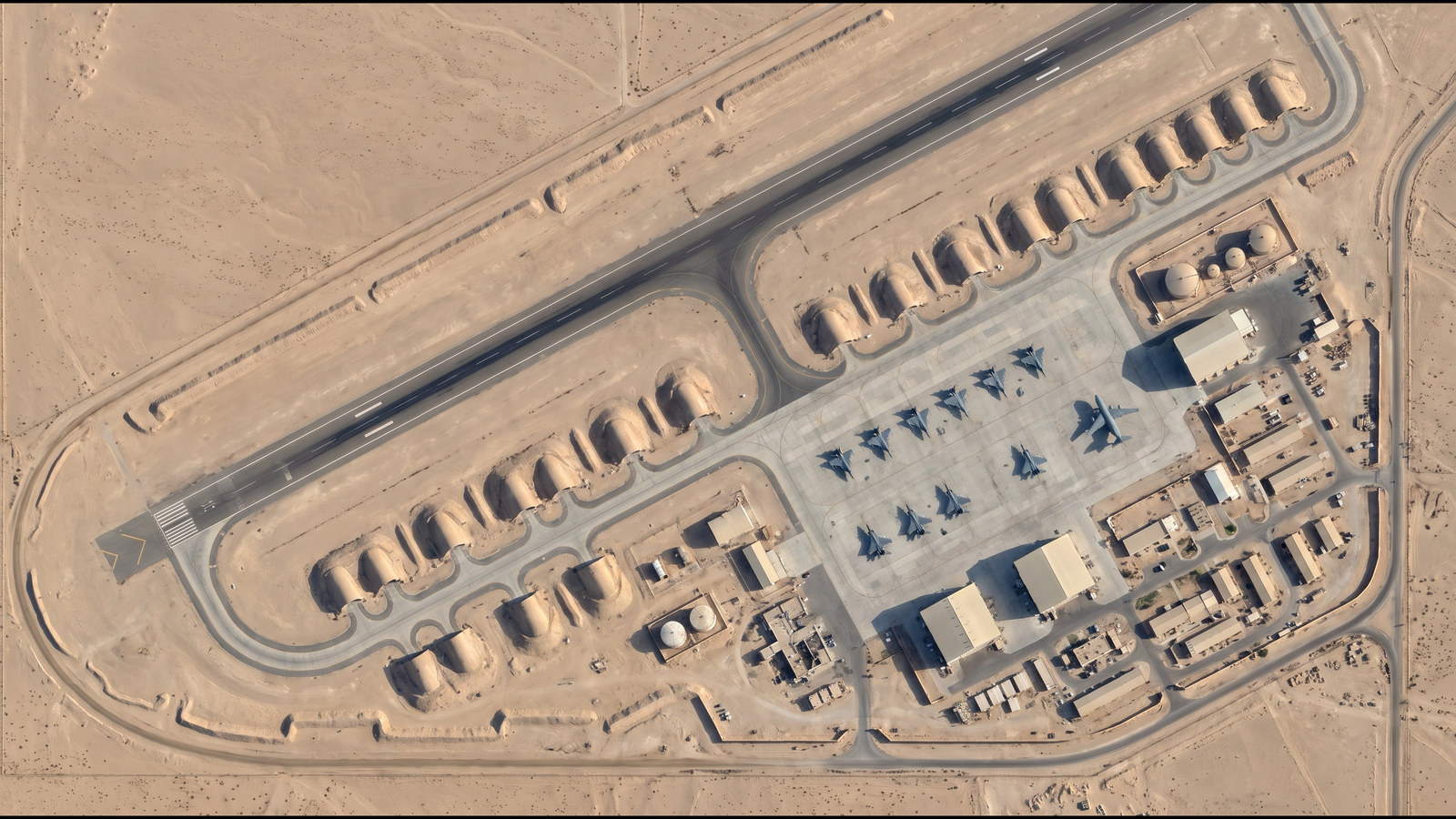
Launch sites prepared, revetments cut, vehicles concentrated. Preparation of this kind can be visible from orbit before anything flies — warning a fence-line sensor cannot give.

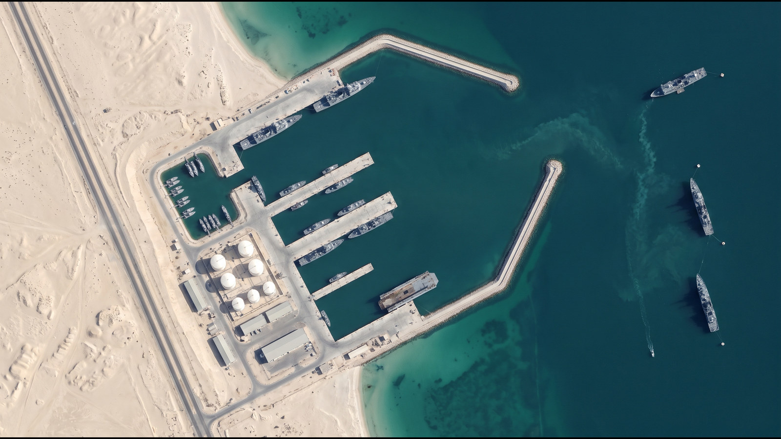
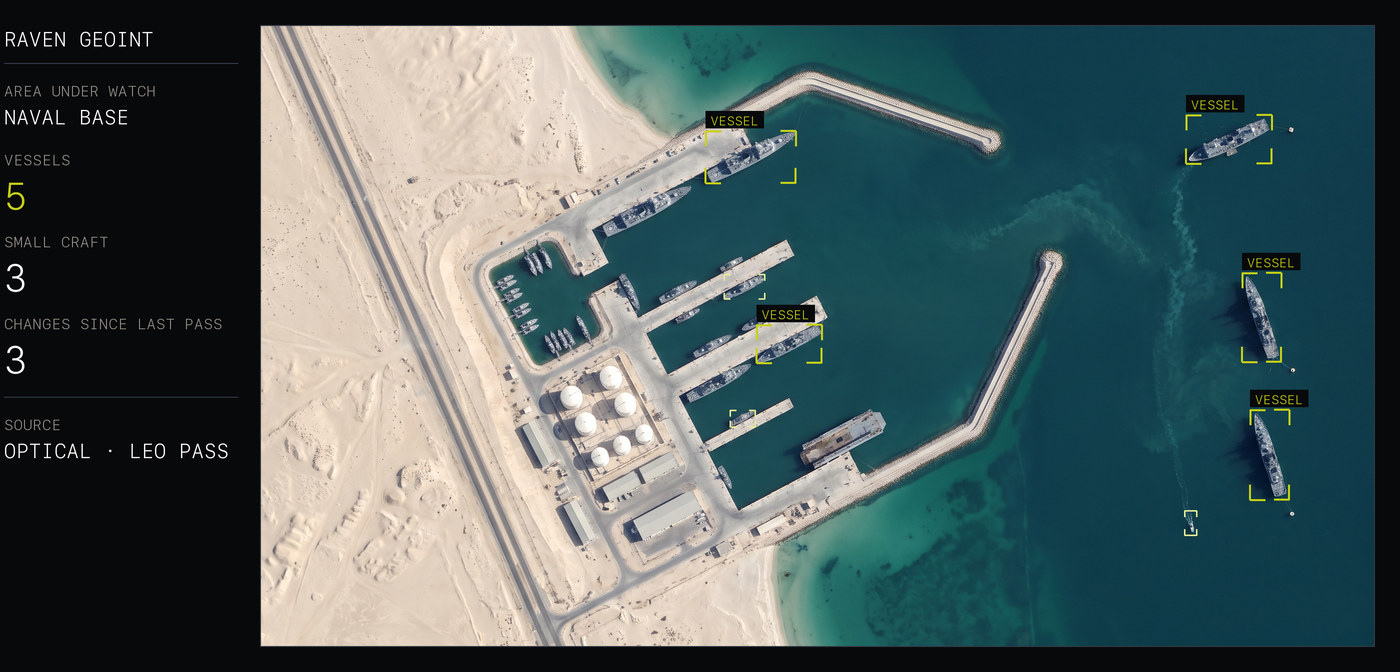
Vessels across the approaches and alongside, detected by day and by night, with radar imagery that sees through cloud.

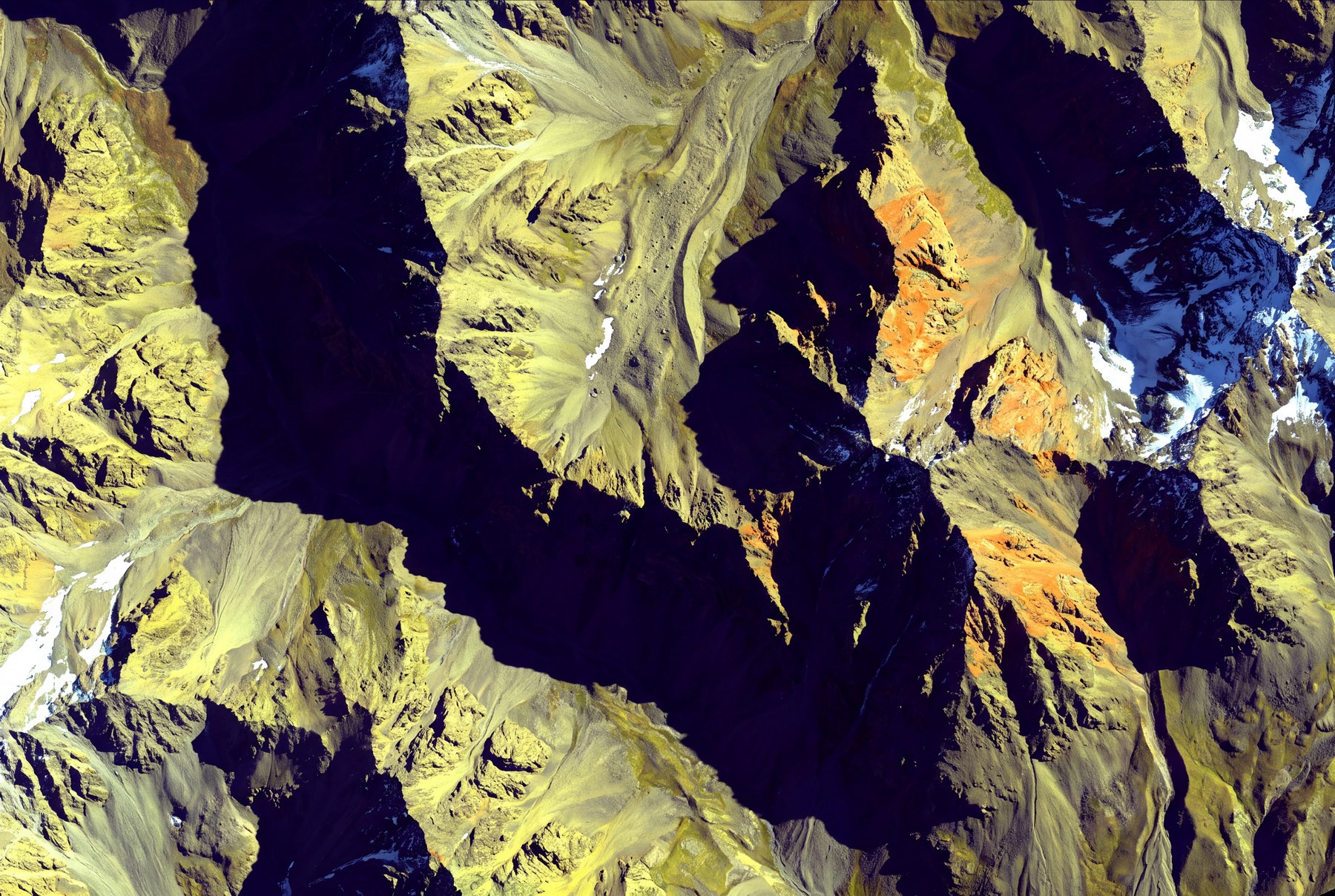
Line of sight ends at the first ridge. From orbit there is no ridge — the ground behind it is watched like any other.

The same site imaged before and after an event and compared automatically: what changed, what still stands, what has moved.
Imagery on this page is illustrative. It shows the kind of ground each mission works on, not a detection result.
A picture that is hours old describes where the threat was. The whole system is built around closing that gap.
Those hours are lost on the way down, not in orbit: the satellite has to reach a remote station before the data comes down, and it is then passed on in stages. A national ground station is designed to remove that wait.
The target applies to areas under standing watch. Tasking a new area on demand is governed by the constellation's revisit and tasking lead time, and is confirmed against the actual constellation and your own area before any figure is given.
The satellites are commercial, and tasking sits with their operator. Imagery reception, processing and the picture are designed to stay in the country.
Speed is the reason a national station is part of the system rather than a third-party reception network: the ground station carries the reception part of the thirty-minute budget.
Give us the area, not the requirement.
Tell us the ground you care about and what counts as abnormal on it. We will come back with what a tasked, change-detected picture of it actually yields.
Contact G7XThe same core is also being developed for civil programmes — monitoring of construction, real-estate development and major infrastructure.