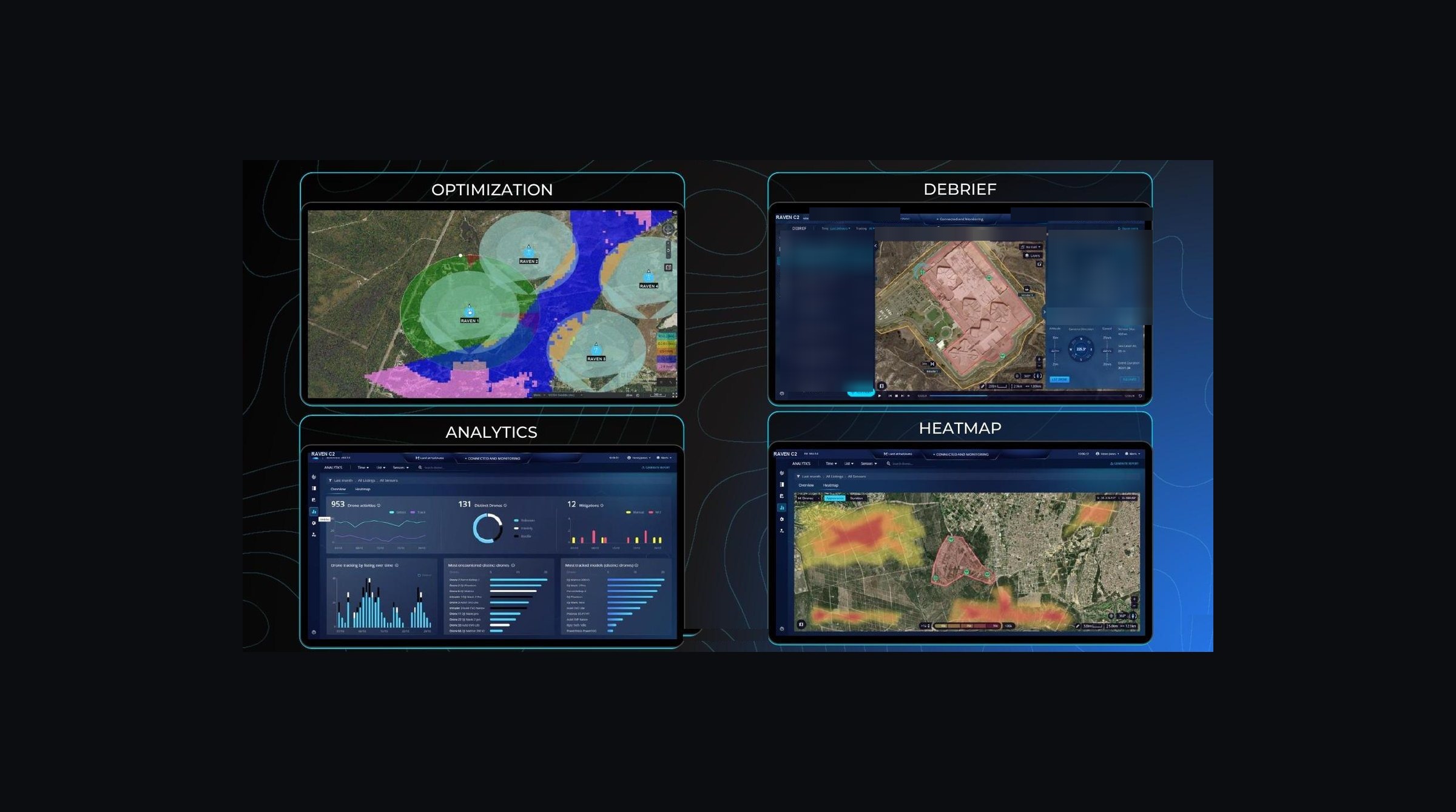
RAVEN C2 · command and control
Every sensor on one screen.
Radars, cameras and radio sensors across a site report into one map, so the operator sees one track per aircraft instead of four. Nothing is acted on without a person deciding.
Radars, cameras and radio sensors across a site report into one map, so the operator sees one track per aircraft instead of four. Nothing is acted on without a person deciding.
One picture. One policy. One authorised action.
RAVEN C2 fuses every connected sensor into a single operating picture, classifies what it sees, presents the operator with the lawful response options for that site, and records the whole chain for review.
Sensors and response options attach as modules. The operational core stays the same as the deployment grows, from one protected site to a national network.
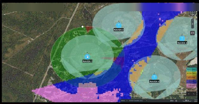
Model coverage before deployment. Sensor siting, terrain and overlap are evaluated against the protected area, then replanned as the site or the threat axis changes.
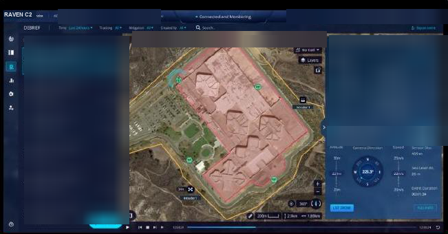
Replay any event with the full track, the identity data and the operator actions taken, on the timeline they happened.
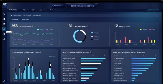
Activity volume, distinct airframes, mitigation counts and the most-encountered models over time — the evidence base for posture decisions.
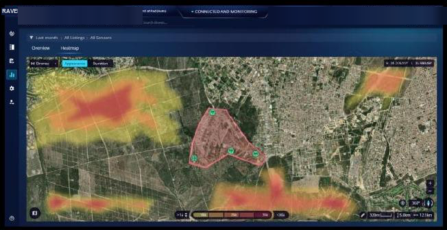
Where incursions concentrate, by appearance and duration, so sensors and patrols are positioned against real patterns rather than assumptions.
Screens shown with demonstration data
RAVEN C2 sits in the mission layer. Sensors report into it, and it reports on into the command system the customer already runs.
Radio-frequency detection, with radar, electro-optics and Remote ID as options
Sensor fusion · policy workflows · response orchestration · event recording
The end user's existing command systems
Protocol takeover and a controlled landing
Two-way integration through a REST API or WebSocket. Each sensor or system interface is assessed and scoped individually.
Additional sites and stakeholders join the same operational core rather than replacing it.
Vendor, model and serial number where the aircraft carries one. Authorised aircraft on the allow-list are neither tracked nor engaged.
Detection and tracking of other aircraft continues while a mitigation is in progress.
Events, policies and workflows from every connected node, consolidated in one place.
The track, the evidence, the proposal, the decision and the operator are written down as the engagement runs.
The datasheet is issued under a non-disclosure agreement, against a named programme.
Request the datasheet